Skytec Blog

2023: A Year of Innovation and Growth for Skytec
Skytec leaders celebrate a year of growth and innovation in UAS and drone solutions, as well as demonstrated client success with Ranger for change detection and satellite imagery.
Read More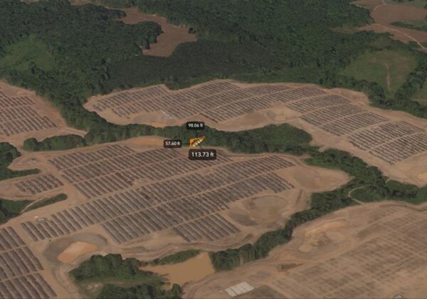
Skytec Launches 3D Modeling from Satellite Imagery
Using satellite data and imagery, Skytec’s 3D reality models provide an additional dimension of verification, demonstration and exploration.
Read More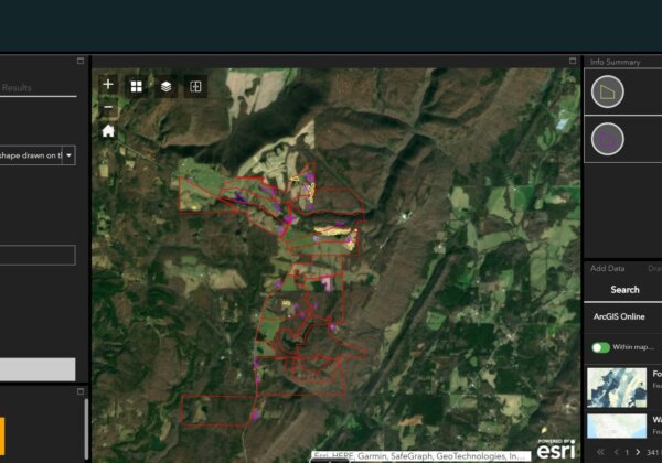
Skytec and Esri: Delivering Invaluable Insights Around the Globe
In geospatial mapping and the many industries that rely on it, Esri and its ArcGIS software are household names. For Skytec, working as a Silver-level Esri partner demonstrates the company’s ability to deliver valuable insights to clients on the leading GIS platform.
Read More
Skytec Expands Service Offerings through SAR Technology
Asset monitoring doesn't wait for sunny days and blue skies. With synthetic aperture radar on the horizon, Skytec will be able to deliver satellite imagery and data in all weather environments.
Read More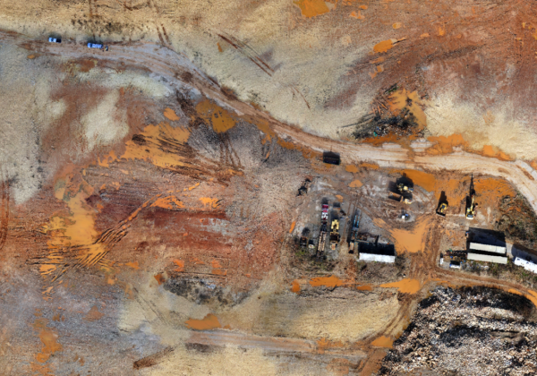
The Benefits of High-Quality Aerial Photogrammetry
Skytec serves clients the latest technology and expertise to acquire unique data relevant to a worksite. With services and technology that harness the power of LiDAR, aerial photogrammetry, and satellite imagery, Skytec delivers unparalleled precision and accuracy with its data insights.
Read More
UAS LiDAR + Surveying Work: Skytec Supports Surveyors with Dynamic Data Capture
When precision in mapping matters, geospatial imagery and data gathered through UAS delivers efficient, effective data for professional land surveyors and surveying clients. With an experienced team, dynamic fleet of aircraft and sensors, and GIS expertise, Skytec brings advanced geospatial mapping capabilities to surveyors.
Read More
Ranger Delivers Valuable Insights for Architecture, Engineering and Construction Use
Skytec’s Ranger™ platform enables architecture, engineering and construction clients to evaluate and monitor job site progress from a macro to micro scale.
Read More
Skytec at the Forefront of Data Capture for Regenerative Agriculture Practices
What do climate resilience and healthy soil have in common? For agriculture experts across the globe, regenerative agriculture and the optimization of best practices for soil management and health may be key to securing supply chains while minimizing impact on the planet.
Read More
Ranger Can Modernize Permit Compliance for State and Local Government Agencies
As state and local government agencies rebound from the effects of the COVID-19 pandemic, big changes are underway for measuring environmental impact and permit compliance.
Read More