Skytec Blog
From Pixels to Polygons to People
Esri, Skytec, and Open Space Institute understand the value of the geographic approach for land trusts and local conservation
Read More
Skytec’s Ranger at the Intersection of Sustainability, Commerce, and Finance
The time for satellite imagery and monitoring has never been more fitting. As corporations strive to meet consumer and market demand for sustainable impact and accountability, companies across the globe are tasked with verifying environmental claims. Skytec is poised to fill the gap in verification and reporting with its leading edge geospatial data, artificial intelligence, and analysis.
Read More
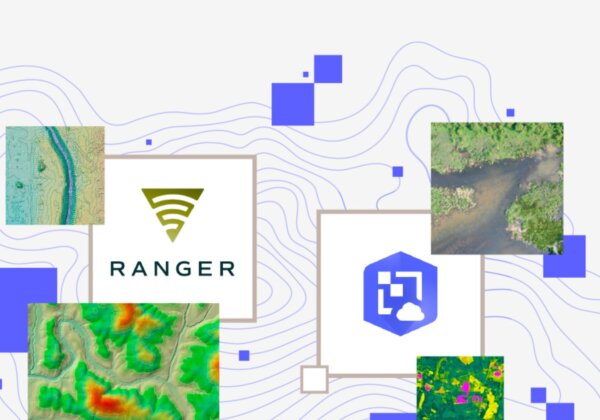
How Skytec builds geospatial apps & services using Picterra
Here is a recent update on how we are leveraging scalable machine learning from our partners at Picterra.
Read More
Team Profile: Laura Lee
The team at Skytec enables us to deliver meaningful solutions to clients and each individual offers unique expertise and perspective. We’re featuring team members on our blog to demonstrate how they contribute to our success and the greater geospatial industry. This month, we’re featuring GIS Analyst and Developer, Laura Lee.
Read More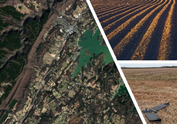
Transforming the Landscape with Ranger: Skytec Partners with Limestone Valley RC&D for Agricultural Soil and Usage Studies
Skytec leaders have historically partnered with conservation organizations for land use monitoring. With the introduction of the company’s comprehensive Ranger tool, Skytec can capture macro and micro-level monitoring and analysis to create dynamic, predictive tools that have the potential to benefit agribusiness and conservation organizations alike.
Read MoreWith Eyes in the Sky, Ranger Senses Changes on Earth
Quickly detect change in minutes as opposed to hours! Find out how Skytec LLC is using ArcGIS Image for ArcGIS Online to help monitor more than 100,000 acres of protected land across the country.
Read More
Picterra & Skytec LLC partner to offer data-driven ESG reporting with geospatial intelligence
Lausanne, Switzerland, December 15, 2021 – Picterra, the leading provider of geospatial machine learning software, today announced a partnership with US-based Skytec LLC. A leader in UAS, remote sensing, and GIS technologies, Skytec will use Picterra to enhance its ability to offer data capture, analysis, and information delivery services at scale.
Read More
sSkytec Selects Esri Technology to Power New Precision Conservation Management Application
Startup's Ranger App Uses Cloud-Hosted Drone and Satellite Imagery to Monitor User Land
Read More
Part II: Tools for Optimizing Corporate Sustainability in a Rapidly Evolving Landscape
The world is preparing for a changing climate and robust data science solutions will be required for innovation and accountability. Skytec leaders CEO Bill Rogers and CTO Andy Carroll weigh in on trends in corporate sustainability initiatives and the need for dynamic data solutions in part two of this blog series.
Read More