Market
AEC
Satellite remote monitoring and drone-based mapping solutions offer significant benefits to the Architecture, Engineering, and Construction (AEC) industry.
Preconstruction Planning
High-resolution satellite imagery can be used to scout potential project sites during the feasibility and planning stages. It allows for a georeferenced interpretation of the geometric footprint of buildings, which can verify addresses and points of interest, and determine profitable development sites.
Cost Efficiency and Timeliness
Remote sensing and Geographic Information System (GIS) technology provides data more quickly and cost-effectively than traditional data collection methods. The data is highly accurate and geospatially reliable.
Environmental Impact Monitoring
Satellite imagery can monitor site progress, map development portfolios, and identify green spaces. It offers a non-destructive means of providing recurrent information from both local and global scales.
Infrastructure Modeling
Remote sensing aids in building extraction and delineation, impervious surfaces detection, infrastructure modeling, and urbanization morphology.
3D Modeling
Satellite imagery can be used for 3D modeling of the terrain and built environment, which is crucial for planning, design, and progress tracking phases.
Asset Management
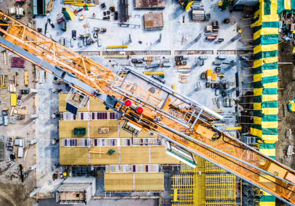
Live satellite images allow for real-time monitoring of construction processes, enabling managers to evaluate the current situation remotely and reduce the number of on-site employees.
Green Space Monitoring
Satellites help track the Normalized Difference Vegetation Index (NDVI), detect negative changes, and optimize land use, which is vital for sustainable landscape design and construction.
Related Content
Ranger Delivers Valuable Insights for Architecture, Engineering and Construction Use
Skytec’s Ranger™ platform enables architecture, engineering and construction clients to evaluate and monitor job site progress from a macro to micro scale.
Read More
Chisholm Trail Land Surveying: Opening Doors to New Opportunities with LiDAR
Increasingly, land surveyors use LiDAR to map property for assessments and development. By partnering with Skytec and its UAS solutions, surveyors have a trusted, reliable source for high-quality, accurate LiDAR.
Read More