Market
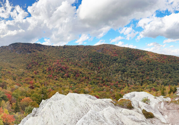
Environment & Conservation
Satellite and drone remote monitoring empowers decision-makers to make informed choices for sustainable resource management and conservation efforts.
Protected Areas & Easement Management
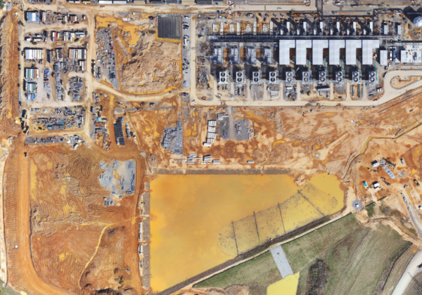
Encroachment/Development
Remotely detect land cover changes and potential threats remotely to guide staff and allocate resources efficiently for field responses and inspections.
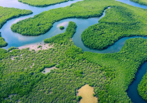
Ecological & Biodiversity Hotspot Monitoring
Automated Change Detection
Proactively monitor known hotspots of ecological and biodiversity importance such as natural areas or rare species populations. This allows for a prompt response when threats first emerge to protect these sensitive areas.
Land Management
Land management monitoring
Track management activities, including prescribed burns, silviculture, and wildlife habitat improvements.
Ensure sustainable practices and informed decision-making.
Mitigation and Habitat Restoration Monitoring
Stream and Wetlands
Monitor stream and wetland mitigation efforts, from baseline conditions through restoration implementation and monitoring.
High-frequency monitoring to capture the response of restoration area to unique climatic events.
Climate Resiliency
Forest Health
Detect early trends and warnings (e.g., vegetation stress) related to changes or impending threats to natural resources and managed assets.
Related Content
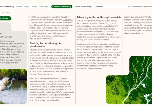
Tennessee Wetlands Project Featured in Microsoft’s 2025 Environmental Sustainability Report
We’re excited to share that Skytec’s Tennessee Wetland Screening Tool has been highlighted in Microsoft’s 2025 Environmental Sustainability Report as a leading example of how advanced geospatial AI can accelerate conservation outcomes.
Read More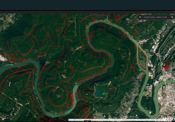
Stewarding the Gorge: How TRGT Integrates the Ranger Remote Monitoring Platform to Scale Conservation
Discover how the Tennessee River Gorge Trust integrates remote monitoring into its conservation work, using Skytec’s Ranger platform to support large-scale, data-informed stewardship in the Tennessee River Gorge.
Read More
Leveraging the Latest Geospatial Technologies to Advance Wetland Identification
Launching Skytec’s Wetland Screening Tool for the State of Tennessee
Read More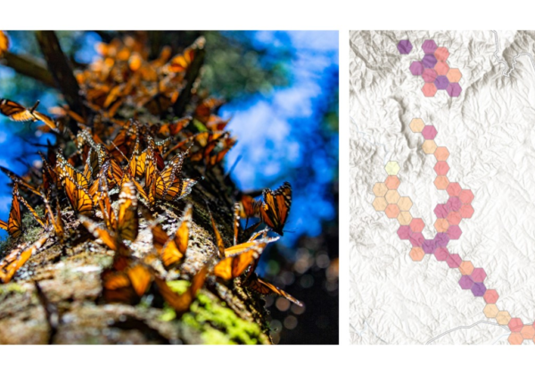
Biodiversity Monitoring and Management with Remote Change Detection
Conservation and management of biodiversity demands appropriate tools, data, and maps. Using Ranger™, Skytec guides clients across industries to monitor and manage biodiversity conservation efforts.
Read More
With Eyes in the Sky, Ranger Senses Changes on Earth
Quickly detect change in minutes as opposed to hours! Find out how Skytec LLC is using ArcGIS Image for ArcGIS Online to help monitor more than 100,000 acres of protected land across the country.
Read More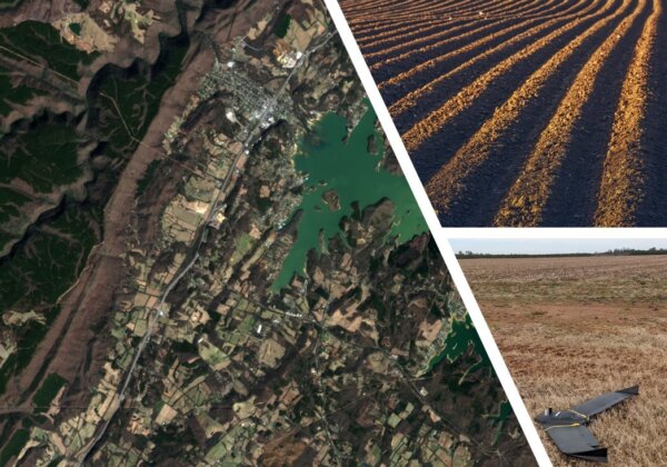
Transforming the Landscape with Ranger: Skytec Partners with Limestone Valley RC&D for Agricultural Soil and Usage Studies
Skytec leaders have historically partnered with conservation organizations for land use monitoring. With the introduction of the company’s comprehensive Ranger tool, Skytec can capture macro and micro-level monitoring and analysis to create dynamic, predictive tools that have the potential to benefit agribusiness and conservation organizations alike.
Read More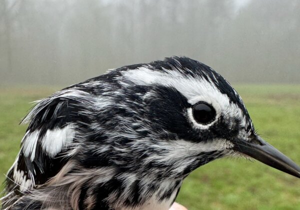
Where Do You Build a Bird Lab?
Our partners at the Appalachian Conservation Institute have built their brand-new bird banding lab with our help. Listen to Associate Director Quentin Miller share how Skytec’s technology empowered ACI to pick the ideal location for their lab.
Read More