Market
Forestry & Natural Resources
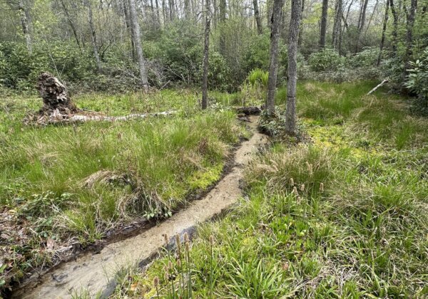
Remote sensing and GIS provide a wealth of tools for managing forests and natural resources. These technologies enhance the ability to manage resource inventories, track health and risks, meet monitoring, reporting, and verification (MRV) requirements, and better protect high value biodiversity and ecological conservation areas.
Forest Inventory and Monitoring
Harvest Activity & Change Detection
The use of high-frequency satellite monitoring and change detection analysis identifies harvest activity areas, enabling timely management, notification and response when risk thresholds are exceeded. By comparing historical and current satellite imagery, we can track changes in forest cover and land use at rates as frequent as weekly, for entire resource supply basins.
Meeting MRV Requirements
The integration of remote monitoring and change detection data feeds into a GIS-based supply chain tracking processes allows organizations to provide the verification and reporting needed to meet current and emerging MRV requirements. These technologies provide a transparent and highly effective system for tracking, documenting, and mitigating risks.
Forest Management and Planning
Harvest Planning
GIS and remote sensing assists in planning timber harvests by estimating forest stand age, volume, and identifying optimal harvest sites. The combination of LiDAR and high resolution multispectral imagery to characterize and track remotely allows organizations to focus field work on specific zones and increase overall operational efficiencies.
Silviculture Practices
Monitoring forest regeneration, growth, and stand dynamics informs silvicultural decisions. Both drone and satellite-based mapping and remote sensing techniques demonstrate real time savings and operational efficiencies.
Forest Health & Risk Assessment
Disease and Pest Detection
Remote sensing identifies signs of disease, insect infestations, or stress in trees. Early detection allows targeted management strategies.
Fire Risk Assessment
Satellite data helps assess fire risk by monitoring fire-prone areas, and current vegetation health and relative moisture levels.
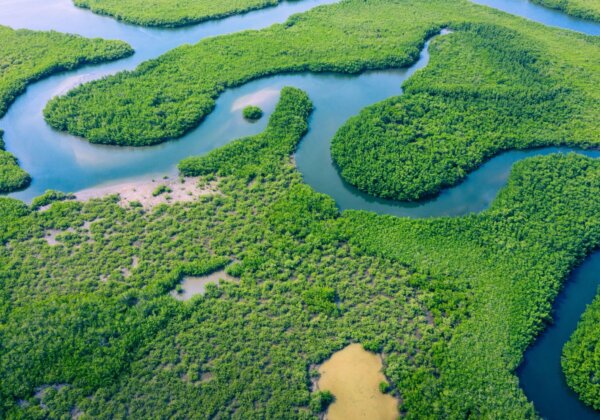
Biodiversity & High Value Conservation Area Monitoring
High Value Conservation Area Monitoring
High-frequency satellite imagery aids in monitoring known populations or habitats for rare, threatened, or endangered (RTE) species, contributing to conservation efforts. These areas of biodiversity priority are increasingly integrated into certification and MRV risk assessment requirements. Identifying unacceptable changes to habitat or documenting successful use of BMPs during harvest activity is much easier through remote monitoring.
Ecosystem Services
Drone and satellite remote sensing provide invaluable detail and scalability for the understanding of forest ecosystems. These technologies help to quantify landscape conditions and the underlying ecological services present in each unique combination of landforms, vegetation, and utilization (e.g., carbon sequestration, water regulation).
What our clients say
"Skytec has been an invaluable partner since the start of International Paper’s mapping journey. The idea and creation of ForSite’sTM environmental layer (i.e., the hexnet) was the critical first step for us to then develop risk-based operational controls and procedures across our supply chain. Without Skytec and their innovation/ideas, we simply would not be in the leadership position of supply chain visibility that we find ourselves in today.” Jeremy Poirier, Senior Manager Fiber Certification and Sustainability at International Paper
Related Content

Using GIS to Lead in Sustainable Supply Chain Management
At Skytec, we’re proud to partner with industry leaders like International Paper to develop innovative, GIS-based solutions that address complex challenges in sustainable sourcing and supply chain management.
Read More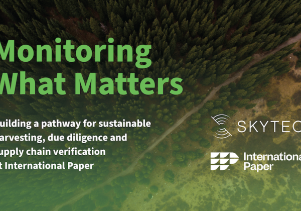
International Paper and Skytec Honored with Special Achievement in GIS Award
GIS Technology Provider Esri Recognized International Paper and Skytec at Annual User Conference for their collaboration on ForSite® project.
Read More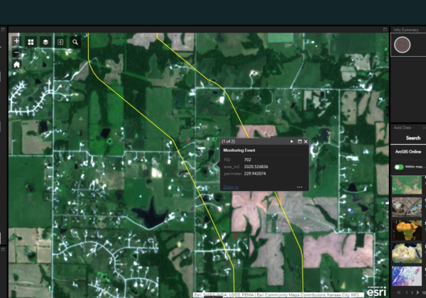
The Evolution of Change Detection Technology: Ranger Delivers Actionable Analytics Across Industries to Reduce Costs and Gain Efficiencies
With Skytec’s Ranger platform, you can Monitor What Matters with change detection technology to deliver ROI, solve problems, minimize downtime, and advance business.
Read More
With Eyes in the Sky, Ranger Senses Changes on Earth
Quickly detect change in minutes as opposed to hours! Find out how Skytec LLC is using ArcGIS Image for ArcGIS Online to help monitor more than 100,000 acres of protected land across the country.
Read More
Skytec & International Paper
Building a pathway for sustainable harvesting, due diligence and supply chain verification at International Paper.
Read More