Market
Legal & Nonprofit
Satellite imagery and remote sensing empower legal and nonprofit organizations by providing critical data for informed decision-making, conservation efforts, and advocacy.
Monitoring Compliance
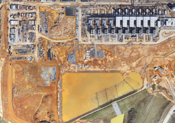
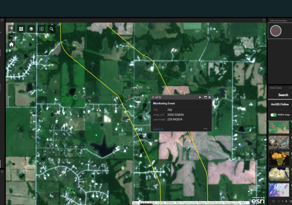
Remote sensing technologies can be used to monitor activities that may be in violation of environmental regulations. This includes tracking deforestation, illegal mining, pollution discharges, and other harmful activities. By providing high-resolution and real-time data, satellite imagery can help detect and deter illegal activities more effectively.
Public Awareness and Advocacy
Earth observation technologies can enhance public awareness and advocacy efforts related to environmental issues. By visualizing environmental changes and trends through maps, images, and interactive platforms, satellite data can engage the public in environmental conservation efforts and empower communities to hold entities accountable for their environmental stewardship. This increased transparency and public scrutiny can help strengthen support for environmental laws and policies, driving positive change at local, national, and global levels.
Supporting Legal Evidence
Remote sensing data can be used as valuable evidence in legal proceedings related to environmental law. For example, satellite images showing changes in land use, or the extent of pollution can support legal cases against perpetrators of environmental harm. This evidence can strengthen enforcement actions and legal prosecutions, leading to more effective enforcement of environmental regulations.
Assessment Planning and Review
This technology can assist in environmental impact assessments (EIAs) and land-use planning processes. By providing detailed information about environmental conditions and changes over time, such as deforestation rates, habitat loss, or water quality, satellite imagery can help policymakers and regulators make informed decisions about proposed projects and policies. This can ensure that development activities are conducted in compliance with environmental laws and regulations, minimizing negative impacts on ecosystems and communities.
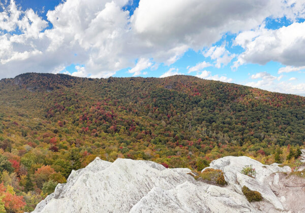
Climate Change Impact Assessment
Satellite remote monitoring helps to assess the effects of climate change on ecosystems. Organizations can monitor shifts in vegetation patterns, glacier retreat, and sea level rise, providing evidence for policy advocacy and awareness campaigns.
Early Warning Systems
Remote sensing data can be used to develop early warning systems for environmental disasters such as wildfires, floods, and oil spills. By monitoring environmental indicators and detecting changes in real-time, satellite imagery can provide advance notice of potential hazards, allowing authorities to take preventive measures and mitigate the impact on ecosystems and human populations. This proactive approach aligns with the preventive principles of environmental law, which emphasize the importance of anticipating and preventing environmental harm.
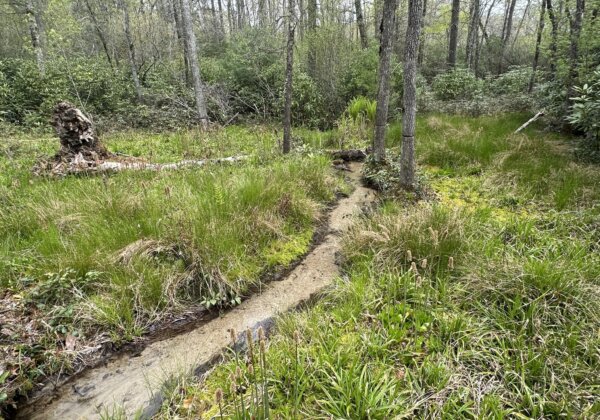
Water Resources Management
Satellite imagery aids in monitoring water bodies, including lakes, rivers, and wetlands. NGOs can assess changes in water availability, pollution levels, and habitat degradation.
Related Content
The Evolution of Change Detection Technology: Ranger Delivers Actionable Analytics Across Industries to Reduce Costs and Gain Efficiencies
With Skytec’s Ranger platform, you can Monitor What Matters with change detection technology to deliver ROI, solve problems, minimize downtime, and advance business.
Read More