Market
Civil Government
Remote sensing provides invaluable support to civil governments across multiple domains. From planning, permitting, to regulatory compliance, the integration of drone and satellite mapping and monitoring technologies into government enterprise GIS solutions is impactful.
Urban Planning and Land Use Management
Zoning and Development
Satellite imagery helps local governments assess land use patterns, identify vacant lots, and plan for urban development zones.
Infrastructure Planning
By analyzing satellite data, authorities can plan transportation networks, utility corridors, and green spaces effectively.
Environmental Monitoring and Regulation
Air and Water Quality
Remote sensing assists in monitoring air pollution, water quality, and changes in vegetation cover. It helps local governments enforce environmental regulations.
Natural Disaster Preparedness
Satellite data aids in tracking weather patterns, flood-prone areas, and wildfire risks. This information supports disaster management and response efforts.
Emergency Response and Recovery
Disaster Assessment
During emergencies, satellite imagery provides rapid assessments of affected areas, helping allocate resources and prioritize relief efforts.
Damage Assessment
After disasters, local governments use remote sensing to assess infrastructure damage, monitor recovery progress, and plan reconstruction.
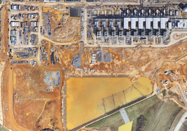
Infrastructure Maintenance and Asset Management
Utility Networks
Satellite data assists in monitoring utility infrastructure such as power lines, water pipelines, and sewage systems. It helps identify maintenance needs and prevent failures.
Roads and Bridges
Local governments can track road conditions, detect potholes, and assess bridge stability using satellite imagery.
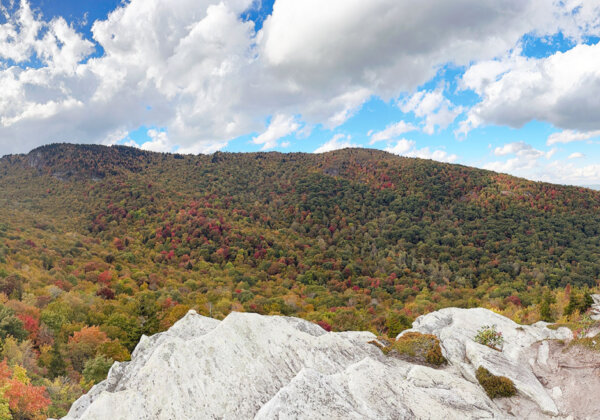
Natural Resource Management
Forestry and Agriculture
Satellite remote sensing aids in monitoring forests, crop health, and land productivity. It informs sustainable resource management practices.
Biodiversity Conservation
Authorities can track changes in natural habitats, wildlife corridors, and protected areas using satellite data.
GIS Integration and Spatial Analysis
Geographic Information Systems (GIS)
Many local governments already have in-house GIS capabilities. Satellite remote sensing data can be integrated with existing GIS databases, enhancing spatial analysis and decision-making.
Urban Forest & Green Infrastructure Management
Inventory and Monitoring
Remote monitoring tools help document and track changes to urban green spaces, street trees, and parks.
Related Content

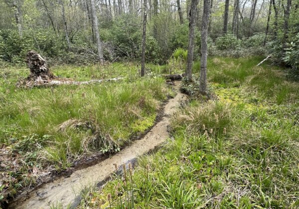
Tennessee Pioneers GeoAI-Based Wetland Screening Tool
Skytec featured in the Spring 2025 issue of ArcNews for collaboration with the Tennessee Department of Environment and Conservation (TDEC) on the Tennessee Wetland Screening Tool.
Read More
Leveraging the Latest Geospatial Technologies to Advance Wetland Identification
Launching Skytec’s Wetland Screening Tool for the State of Tennessee
Read More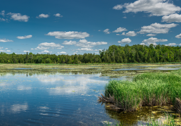
Ranger Can Modernize Permit Compliance for State and Local Government Agencies
As state and local government agencies rebound from the effects of the COVID-19 pandemic, big changes are underway for measuring environmental impact and permit compliance.
Read More