Skytec Blog

Skytec Explores Next Frontier of Geospatial Innovation Through Planet Partnership
The partnership tethers Skytec to the largest fleet of Earth-imaging satellites, providing data-based solution opportunities in the energy, forestry and agriculture verticals among others.
Read More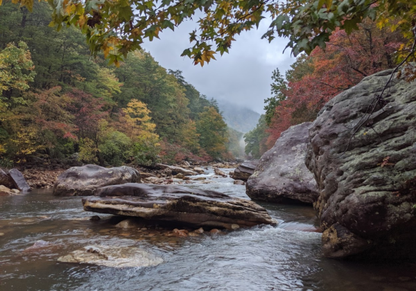
Supporting Environmental Stewardship with International Paper
Environmental and sustainability commitments are more than statements — they require action, initiative, and leadership. For more and more companies, a commitment to sustainability is backed with hard data science. These commitments are an everyday consideration for International Paper.
Read More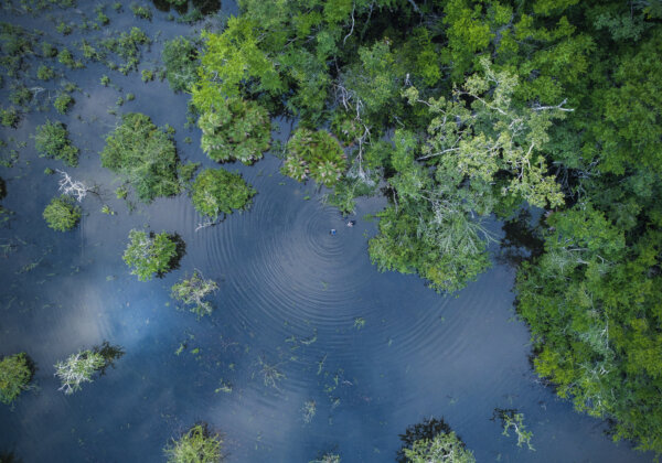
Skytec Earns Esri Silver Partner Status
Powered by this new designation, the Skytec team and their clients will benefit from enhanced technology solutions tailored for Geographic Information Systems (GIS) needs.
Read More
UAS and the Environment: The Next Frontier
By Bill Rogers, Co-Founder and CEOWhat started as an idea to get our hands dirty figuring out the best uses for unmanned systems has morphed and evolved into so much more, including refining our use of LiDAR and other remote sensors...
Read More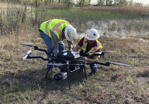
Wetlands and LiDAR: Skytec Technology Is Mapping Conservation Efforts
Since its inception, Skytec and its founders have been focused on the environment and conservation. Two recent wetlands projects in the region highlight the dramatic innovations and improvements surrounding LiDAR and sensors for mapping conservation efforts and managing the environment.
Read More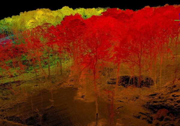
Leaves Off, Leaves On — The View’s Exceptional Either Way
Historically, aerial data had to be captured during the winter when leaves had fallen from the trees, but today, that's just not the case. Read more to find out how Skytec's full waveform LiDAR sensors and the ability to operate just above the canopy with aircraft make it possible to collect data and map any time of the year — even during full “leaf-on” conditions.
Read More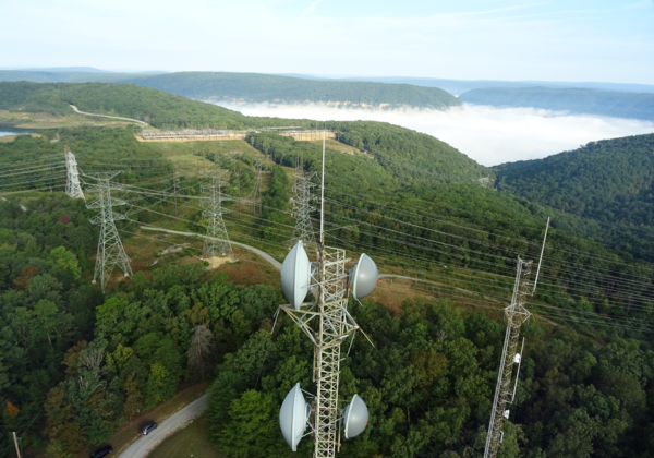
Skytec & TVA: Collaborating to Simplify & Improve Tower Inspections
Most of us never stop to consider those extremely tall towers along the side of roads or soaring above our heads in open spaces. But for organizations like Tennessee Valley Authority (TVA), those towers are strategic — and they require regular upkeep and inspections.
Read More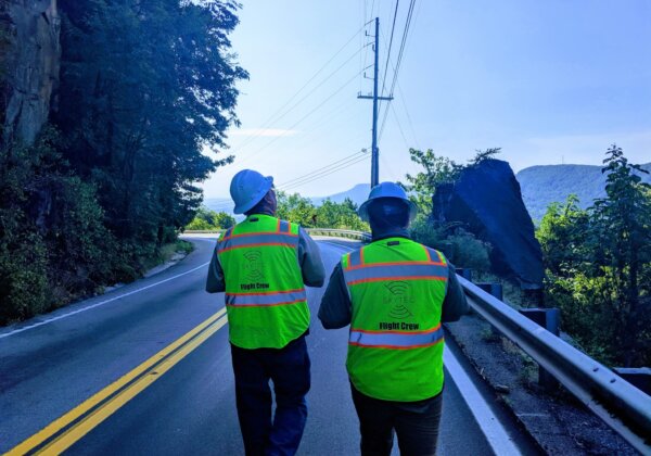
Skytec: Building Trust in Unmanned Aerial Systems
The UAS world is a nascent, ever-changing space. In this evolving landscape that is often shrouded by skepticism, pioneering businesses like Skytec must provide consistent, high-quality services to elevate the standing of — and trust in — the entire industry. We relish that task.
Read More
Seeing the Forest for the Trees
By Andy Carroll, Co-Founder and CTORecently, I had the pleasure of attending my 16th ESRI GIS Users Conference. During this weeklong annual odyssey of over 18,000 geogeeks, professionals, scientists, and political leadership, Jack Dangermond unveiled — or least continued his rebranding of — GIS as the “Intelligent Nervous System” of the planet...
Read More