News
Tennessee Wetlands Project Featured in Microsoft’s 2025 Environmental Sustainability Report
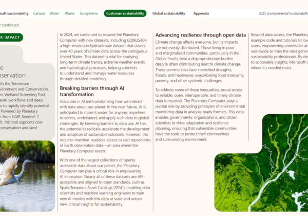
We’re excited to share that Skytec’s Tennessee Wetland Screening Tool has been highlighted in Microsoft’s 2025 Environmental Sustainability Report as a leading example of how advanced geospatial AI can accelerate conservation outcomes.
Read More
Tennessee Pioneers GeoAI-Based Wetland Screening Tool
Skytec featured in the Spring 2025 issue of ArcNews for collaboration with the Tennessee Department of Environment and Conservation (TDEC) on the Tennessee Wetland Screening Tool.
Read More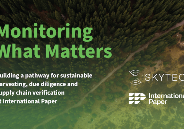
International Paper and Skytec Honored with Special Achievement in GIS Award
GIS Technology Provider Esri Recognized International Paper and Skytec at Annual User Conference for their collaboration on ForSite® project.
Read More
Advancing Regenerative Agriculture With Skytec’s Ranger And Limestone Valley RC&D
How much does healthy soil impact our climate resiliency? It turns out quite a lot. Optimizing best practices in land management can increase biodiversity, enrich soil, and protect water quality, ultimately making our soil more resilient to climate instability. This practice, known as regenerative agriculture, is a critical tool for agriculture experts all over the world.
Read More
SaaS Imagery Solution Helps Conservation Startup Detect Change Faster
To help care for and protect natural resources, including land, water, and wildlife, Esri partner Skytec employs unmanned aerial systems (UAS), remote sensing, and GIS technology. In 2019, around the same time the small startup graduated from the Esri Startup program, Skytec developed Ranger, an app for detecting whether high-priority areas are undergoing significant change, such as shrinking or disappearing.
Read More
BlackSky Customer Skytec Demonstrates Seamless Integration of Dynamic Monitoring Data Through Esri ArcGIS Online
Skytec users now have easy, on-demand tasking access to BlackSky’s hourly, high resolution satellite imagery for natural resource management
Read More
From Pixels to Polygons to People
Esri, Skytec, and Open Space Institute understand the value of the geographic approach for land trusts and local conservation
Read More
Picterra & Skytec LLC partner to offer data-driven ESG reporting with geospatial intelligence
Lausanne, Switzerland, December 15, 2021 – Picterra, the leading provider of geospatial machine learning software, today announced a partnership with US-based Skytec LLC. A leader in UAS, remote sensing, and GIS technologies, Skytec will use Picterra to enhance its ability to offer data capture, analysis, and information delivery services at scale.
Read More
Skytec Selects Esri Technology to Power New Precision Conservation Management Application
Startup's Ranger App Uses Cloud-Hosted Drone and Satellite Imagery to Monitor User Land
Read More