Blog
Skytec’s Ranger at the Intersection of Sustainability, Commerce, and Finance
The time for satellite imagery and monitoring has never been more fitting. As corporations strive to meet consumer and market demand for sustainable impact and accountability, companies across the globe are tasked with verifying environmental claims. Skytec is poised to fill the gap in verification and reporting with its leading-edge geospatial data, artificial intelligence, and analysis.
Commercial satellite data and analytics have the power to transform markets, enabling investors, insurers, and financial stakeholders access to evaluate, from space, environmental impact, sustainability claims, and more. Is logging negatively affecting a rich area of biodiversity? What carbon impact will clear cutting have? What is the overall environmental impact of a corporation? Geospatial data allows stakeholders to view coastlines, forests, agricultural assets and more—and at scale.
“We’re seeing trends emerge around the new spatial and global awareness,” says Andy Carroll CTO and Cofounder of Skytec. “With the advent of commercial satellite data, paired with GIS analytics that enable us to evaluate multiple levels of data, we’re able to provide crucial insights at the intersection of supply chain sustainability and the financial world.”
Design-Grade Verification and Analysis
Skytec’s satellite technology through Planet combined with leading-edge analysis enables Esri Silver Partner level Skytec analysts to provide design-grade verification that supports corporate commitments to sustainability and potential green investments.
“What’s good for the environment can also be good for business—and we’re not alone in promoting those concepts,” says Bill Rogers, CEO of Skytec. “Our tools and intelligence guide business leaders to make sound decisions that can synonymously minimize both business and environmental risks.”
The rapid assessment of the planet at global scale, and the verification of supply chains, is growing quickly. All industries, including agriculture, energy, forestry, and more—as well as potential investors—have the potential to access these data to tell a corporate story.
From Satellite to Centimeter
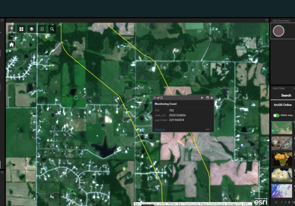
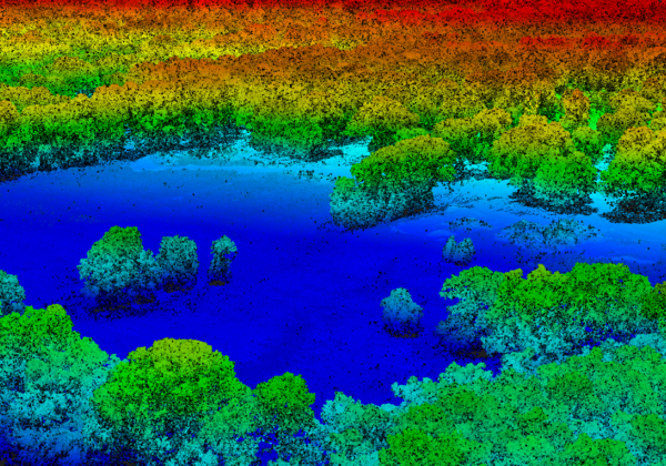
Skytec in 2021 launched Ranger™, a remote sensing SaaS application that monitors and detects change to empower business leaders to make timely management decisions. Ranger pairs Planet multispectral satellite data, high resolution UAS, and LiDAR products to provide the full scope of analysis, from satellite to centimeter.
“With the Ranger product, and specifically our satellite imagery data, we’re able to guide companies with data that supports their mission, such as detailed requirements for sustainable harvesting in forestry and more,” Carroll says. “We put these tools to work to help companies meet regulatory guidelines.”
Satellite images provide a new level of business intelligence, demonstrated as a competitive edge in certain industries.
“Our planet is less hospitable—the science points toward accelerating change in our climate with rising temperatures and more impactful and frequent weather events,” Rogers says. “As international businesses face mandates to end deforestation, for example, and new regulations are set for supply chains, Skytec offers corporations the tools to monitor these activities from a global scale. These are big problems. Never before have we been able to look at the planet at scale, commercially, until now.”
Satellite data enhances Skytec’s existing resources and intelligence to improve measuring and monitoring services that can drive business decisions, reporting and capturing evidence of changes on a global scale, and supporting government agencies and private businesses on the success of an initiative.
“Our comprehensive tools, from satellites to UAS, enable us to meet clients’ goals,” Rogers says. “From risk mitigation to regulatory compliance, Skytec provides defensible, actionable data that informs business decisions and designs.”
Ready for the full picture of your company’s assets? Get started today with Skytec.
Skytec Blog

The Evolution of Change Detection Technology: Ranger Delivers Actionable Analytics Across Industries to Reduce Costs and Gain Efficiencies
With Skytec’s Ranger platform, you can Monitor What Matters with change detection technology to deliver ROI, solve problems, minimize downtime, and advance business.
Read More
Biodiversity Monitoring and Management with Remote Change Detection
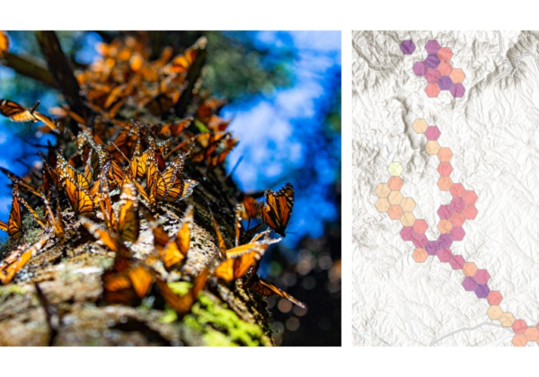
Conservation and management of biodiversity demands appropriate tools, data, and maps. Using Ranger™, Skytec guides clients across industries to monitor and manage biodiversity conservation efforts.

Skytec Supports Professional Land Surveyors with Reliable UAS Data and Open Communication
Skytec leaders sat down with Brian Keith, PLS, founder and owner of K&A Land Surveying based in Wilson County, Tennessee. Since 2021, Skytec has partnered with Keith to provide LiDAR data capture through UAS, and more recently, planimetric data capture.
Read More