Blog
Skytec Supports Professional Land Surveyors with Reliable UAS Data and Open Communication
Surveyors are the first professionals tasked with mapping property for any time of assessment or development. With Skytec and its UAS solutions, surveyors have access to reliable data and a trusted partner to deliver excellent client results.
Skytec leaders sat down with Brian Keith, PLS, founder and owner of K&A Land Surveying based in Wilson County, Tennessee. Since 2021, Skytec has partnered with Keith to provide LiDAR data capture through UAS, and more recently, planimetric data capture.
Skytec delivers the full scope of UAS solutions for clients, including a range of sensors and high-payload aircraft, and depth of experience in flying, data capture and analytics. Our dedicated UAS pilots carry forth the company’s culture of safety and best practices in aviation, supported by the Argus rating.
With expert pilots, best practices in aviation, and cutting-edge sensors, Skytec enables surveyors to assess challenging terrain with accurate results.

Bill Rogers, Skytec CEO and Cofounder: We want to learn from your perspective. In our work together over the past few years, we’ve built a trust factor. Skytec takes safety seriously; we are respectful on the site; and our goal is to get the data and deliver it for you. That’s how our business relationship progressed. Beyond that, I’d love to know your opinion of working with us.
Brian Keith, PLS: Working with you has been a real pleasure. I’ve been burned by three other firms before working with Skytec and those particular projects didn’t go well. As a whole, it wasn’t very useful and those projects were frustrating because their work put us in a bad light.
Skytec’s work has been the opposite—the results are timely, we get accurate data, and we don’t have issues using and incorporating data into our work.
Bill: We’re always looking to improve, and I know we did something different with the last site we flew.
Brian: Yes, we did a planimetric study. It’s a site we’re still working on. We had some initial items missing, but Skytec has sent over those pieces. This is by far the largest and most complicated project we’ve worked on with Skytec. Regardless of how well we each do our jobs, there will be some minor issues. We work through them together and we never have a problem with communication.
Bill: How does Skytec impact your business?
Brian: We’re a small business and we have limited manpower. The services Skytec provides allow us to increase our workload without increasing our time needed to do that job. Skytec’s services have helped us financially and have helped us gain new clients.
Bill: Besides saving time and processing data, does our work also help the client?
Brian: Without Skytec’s work on this particular complex site, we would have to physically locate all the points Skytec located within a matter of hours. That would take us weeks otherwise. You’re saving us time and you’re saving time for the clients we work for that are typically on a tight schedule.
When using Skytec’s planimetric survey data, our work isn’t eliminated but the data collection helps tremendously. Previously we’ve used Skytec’s UAS LiDAR collection. Access to these sites can be treacherous and I can’t talk my guys into going in there. With Skytec, we can take difficult jobs and do a really good job for clients without having to put my team in a bad or unwanted situation. We’re able to access areas that we would’ve had to physically cut through on the ground.

Bill: As a company we made the choice to work in tandem with legacy professionals. The solutions we offer are tools and it’s our specialty to leverage these tools.
Brian: Skytec has been great to work with. The technology they use has made our jobs easier. I don’t have any desire to take up the services that Skytec performs, and I’m happy to enlist their services. As a company, they deliver services that other companies haven’t at the level or cost Skytec can.
Bill: It’s our goal to always collaborate with surveyors who are the legacy professionals. You have to stand behind your work and get it right on the front end.
Brian: I’m afraid people are willing to accept the results from technology without any proof, so to speak. The first job we did with Skytec, I went in behind your data and reshot it on the ground, in part because of the negative experiences I’d had prior to working with Skytec. The data was correct, and it was important to know it was correct. I had to know before I could move forward with accepting data I’m putting out there with my name on it.
I appreciate Skytec’s consistency and dependability and how that reflects on our company. Other companies can benefit from what Skytec’s services deliver. You’re going to get everything you’d expect from a company delivering LiDAR and planimetric data capture.
Read more about Skytec’s Drone Solutions and contact us to get started.

Skytec Blog

Utilities Can Reduce Risk and Optimize Vegetation Management with Skytec’s Remote Monitoring
Skytec combines satellite imagery and remote change detection to build 3D models or digital twins and better visualize areas of risk in vegetation management for utilities.
Read More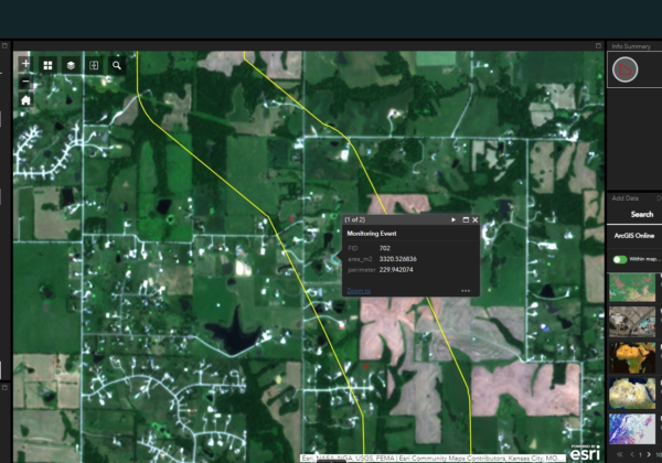
The Evolution of Change Detection Technology: Ranger Delivers Actionable Analytics Across Industries to Reduce Costs and Gain Efficiencies
With Skytec’s Ranger platform, you can Monitor What Matters with change detection technology to deliver ROI, solve problems, minimize downtime, and advance business.
Read More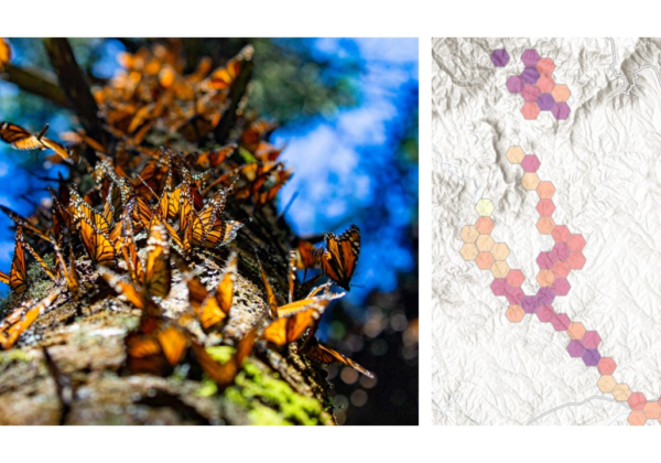
Biodiversity Monitoring and Management with Remote Change Detection
Conservation and management of biodiversity demands appropriate tools, data, and maps. Using Ranger™, Skytec guides clients across industries to monitor and manage biodiversity conservation efforts.