Monitor What Matters™
Leverage powerful remote sensing and geospatial technologies to better monitor, manage, and meet commitments.
THE PROBLEM
Around the globe and across industries, organizations face a dilemma—how do we best monitor and manage assets and natural resources in this era of rapid environmental change?
What if you had access to accurate, up-to-date geospatial data at your fingertips?
THE SOLUTION
We harness the power of the latest geospatial, artificial intelligence, and remote sensing technologies to provide our clients with actionable, real-time analytics.
Skytec creates customized geospatial mapping and analytics solutions that are:
Scalable | Timely | Global
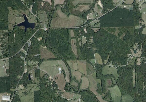
Uncover innovative solutions that pair and automate macro-scale satellite-based monitoring and micro-scale, high-resolution drone verification.
Access a scalable global monitoring platform and a full scope of imagery products and live data feeds.
Integrate real-time change detection and intelligence into existing data workflows and enterprise systems.
Empower your organization, from the individual to enterprise, with actionable analytics that impact and demonstrate environmental management commitments.
GEOSPATIAL SOLUTIONS
Ranger™
Monitor What Matters™
A comprehensive change detection and monitoring SaaS solution.
Ranger empowers clients with the ability to proactively manage assets, steward resources, and meet commitments.
Drone Solutions
LiDAR and Photogrammetry
Since 2015, Skytec has used the pinnacle of drone, sensors and software to provide its clients with premium, high-accuracy LiDAR and photogrammetry products. Our seasoned pilots maintain the operational expertise and knowledge to safely collect field data.
Learn MoreGIS Professional Services
Custom Monitoring Solutions
How do you turn data into actionable information? It starts with an understanding of desired client outcomes and capabilities. At Skytec, we provide innovative solutions that bridge the deep divide between data and information.
Learn MoreSkytec News
Advancing Regenerative Agriculture With Skytec’s Ranger And Limestone Valley RC&D
How much does healthy soil impact our climate resiliency? It turns out quite a lot. Optimizing best practices in land management can increase biodiversity, enrich soil, and protect water quality, ultimately making our soil more resilient to climate instability. This practice, known as regenerative agriculture, is a critical tool for agriculture experts all over the world.
Read More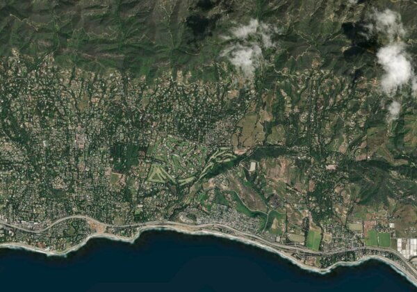
SaaS Imagery Solution Helps Conservation Startup Detect Change Faster
To help care for and protect natural resources, including land, water, and wildlife, Esri partner Skytec employs unmanned aerial systems (UAS), remote sensing, and GIS technology. In 2019, around the same time the small startup graduated from the Esri Startup program, Skytec developed Ranger, an app for detecting whether high-priority areas are undergoing significant change, such as shrinking or disappearing.
Read More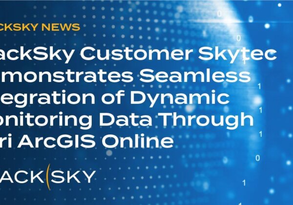
BlackSky Customer Skytec Demonstrates Seamless Integration of Dynamic Monitoring Data Through Esri ArcGIS Online
Skytec users now have easy, on-demand tasking access to BlackSky’s hourly, high resolution satellite imagery for natural resource management
Read More